


 18 / 84

18
SAMC
o
T
• ANNUAL REPORT 2015
Geographical Information System (GIS)
In 2015
NATALY MARCHENKO
continued with the development of the SAMCoT GIS for
Arctic technology applications. The main focus was on sea ice movement in the Western
Barents Sea. In order to find the best source of information for this marginal region,
the work focused on the comparison of Sea Ice Products data on sea ice drift (speed
and direction) with data from drifting buoys (ice trackers installed by the UNIS Arctic
Technology department). The results have been presented in a report and in a conference
paper that will be presented at the 23rd International Association of Hydro-Environment
Engineering and Research (IAHR) International Symposium on Ice in 2016. The data (sea
currents, water and air temperature and salinity) for modeling of ice ridge transformation
during their drifts in the Western Barents Sea have been obtained by means of GIS and
delivered to colleagues in WP1.
SAMCoT Industry Partners (IPs) have shown a clear interest in the use of GIS to deliver
data already obtained through different activities linked to WP1. To accommodate the
wishes of SAMCoT IPs, WP1 researchers are currently developing a “common format” for
data transfer. In collaboration with Statoil (Kenneth Eik and Guy Maurice), Marchenko has
developed a test project named ArcGIS including data obtained from ice trackers. This
work will continue in 2016 with the intention to make the data obtained by WP1 available
for SAMCoT partners.
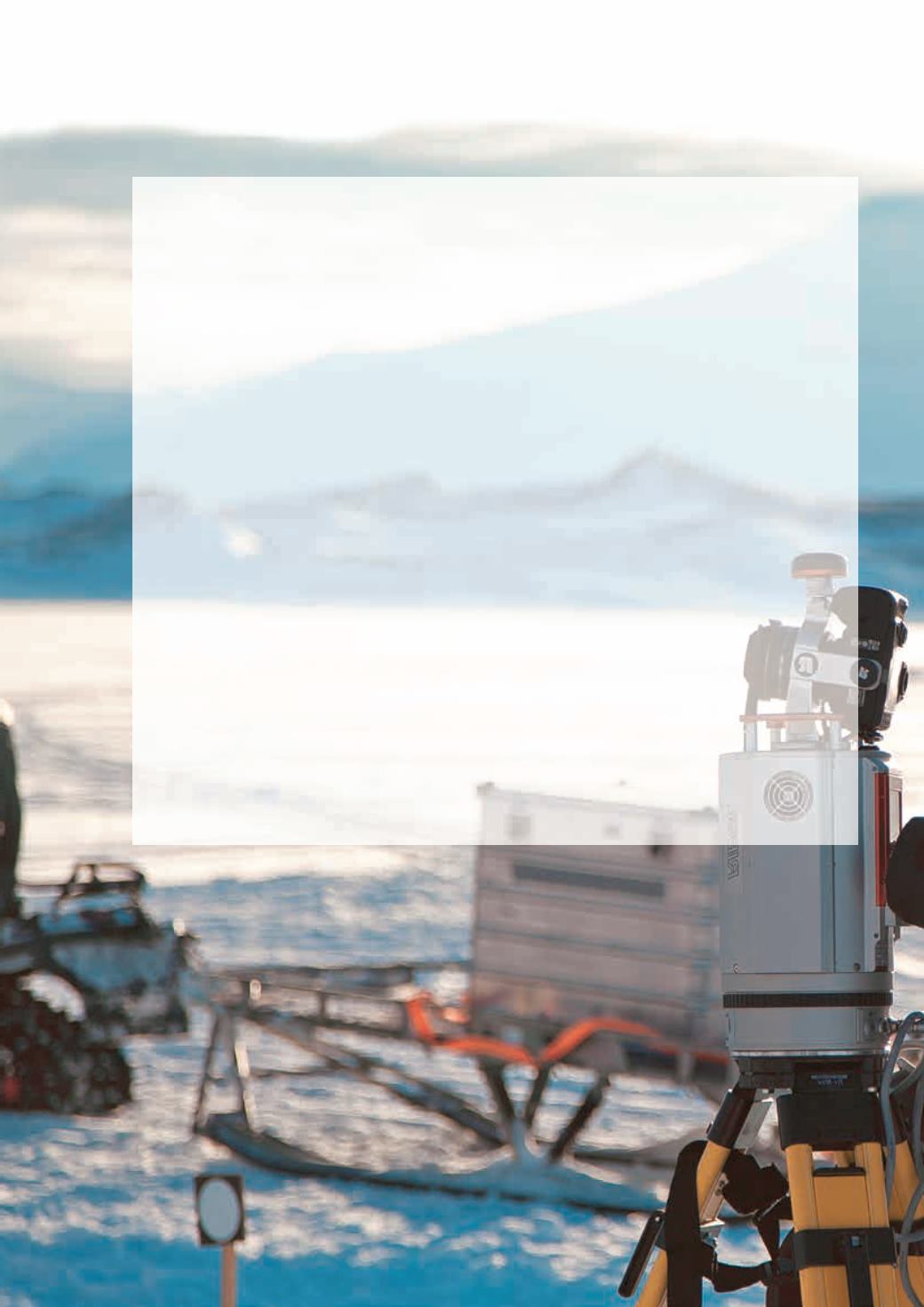
A different approach to the work involving GIS relates to the inclusion of laser scan data into
the SAMCoT GIS. The technique for scanning along the mechanical ice tests will be devel-
oped to give new information and performance on ice deformation under various loads.
Photo: Evgeny Salganik