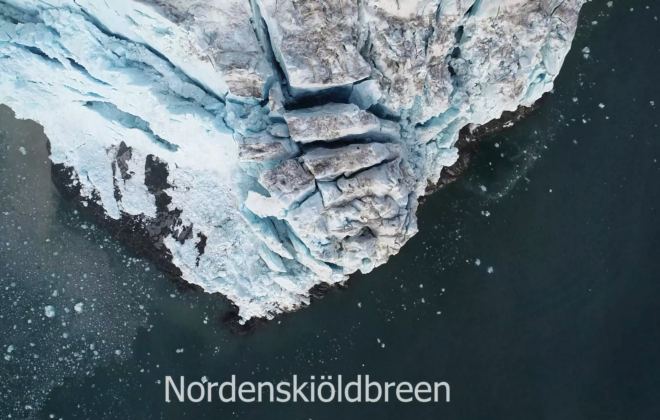
Drone-mapping of Nordenskiöldbreen in Svalbard
Two years ago I went on an amazing fieldwork trip to map glacier crevasses in Svalbard with drones. We spend five days in Bruebyen and hiked to the glacier front of Nordenskiöldbreen. From there, I have been flying the drone over the impressive glacier while…
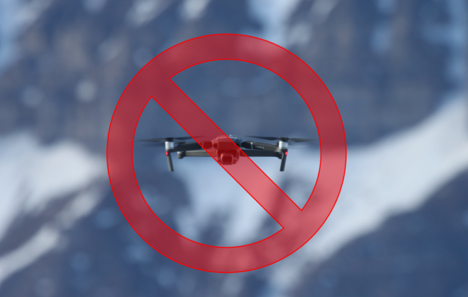
Are drones going to be banned from Svalbard?
A new legislative proposition threatens the use of aerial and marine drones in Svalbard. The proposal to the Svalbard Environmental Protection Act introduces a ban of drones in all protected areas in Svalbard. Scientific drone applications could be severely hurt by this regulation. I am…
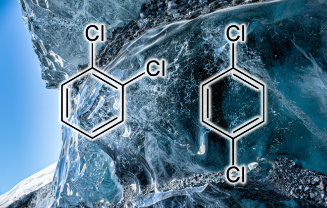
Finding pesticides in the Arctic and Antarctic
Another paper on the topic of industrial chemicals that I have contributed to has been published. The paper is titled: “Historic Atmospheric Organochlorine Pesticide and Halogenated Industrial Compound Inputs to Glacier Ice Cores in Antarctica and the Arctic“. In the paper we are looking at…
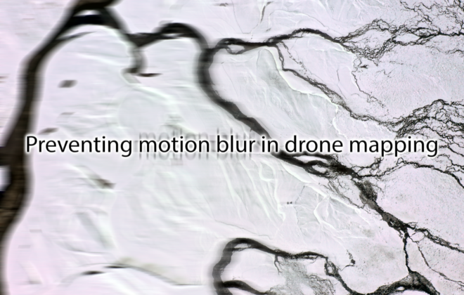
Preventing motion blur in drone mapping
Motion blur is an unwanted photo effect that occurs when a picture is taken with a long exposure and rapid movements. In drone mapping, motion blur occurs when the drone is flying at a high speed while taking pictures. If the flight speed is high…


