Real-time project and real-life experience
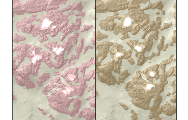
When building a house, it is crucial to know whether the ground consists of rock, gravel, sand, or clay. The same goes for underwater installations, but it is not so easy to determine as on dry land.
Spotting small objects on the seafloor
A rock the size of a thumb will be visible on the seafloor when PhD candidate Ole Jacob Lorentzen has completed his work on designing the algorithms for images from Kongsberg Maritime’s HISAS sonar.
Potential improvement in sonar seabed mapping
Today, a significant part of the oceans remains coarsely mapped. Some specific areas like the continental shelves will require high-resolution surveys. This represents a very long and expensive task that will keep scientist busy for several decades. A way to reduce costs and time could be to improve the efficiency of current surveys. We are trying to do this by sending more signals in the water at the same time.
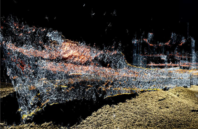
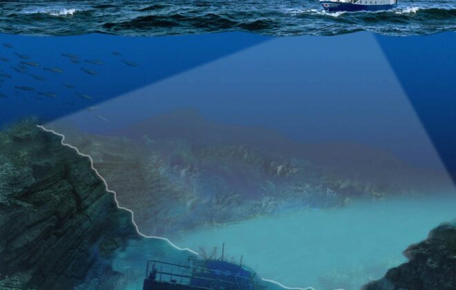
The Multi-beam echo sounder is recognized as one of the most efficient and reliable tool for seabed mapping. Applications range from regional mapping of the seabed for geological surveys to the inspection of man-made objects such as pipelines or ship wrecks.
By Antoine Blachet, PhD Candidate, CIUS – Centre for Innovative Ultrasound Solutions.
Reducing SONAR overheating
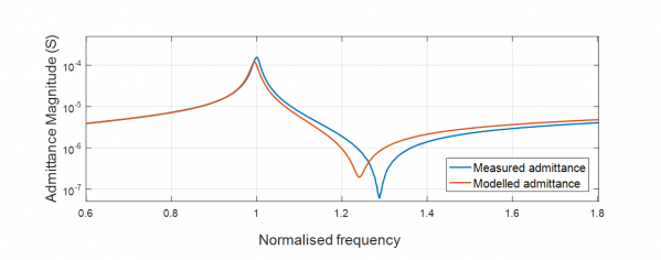
Within the maritime industry, ships use SONAR (Sound Navigation and Ranging) systems in order to make maps of the seabed. The problem with SONARs, is that they have a tendency to overheat. Our aim is to predict the temperature rise in the materials used in…


